
Wondering how quickly we’re clearing snow after a storm?
Our snow operations map is an excellent resource for keeping track of snow-clearing progress or current parking bans. And thanks to some recent changes, it’s getting even better.
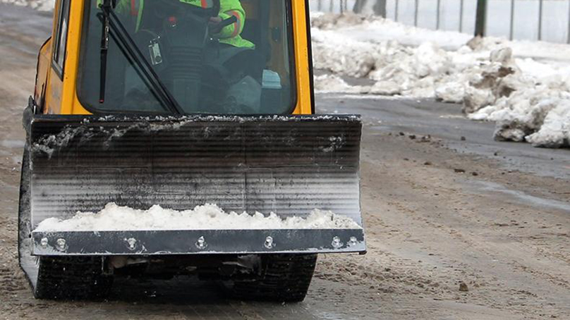
We’re now using automatic vehicle location (AVL) technology built into our equipment to update progress on individual sidewalks, pathways, and bike paths every 15 minutes. Previously, staff entered this information manually for an entire area — typically at the end of a 12-hour clearing shift.
“Connecting AVL to our sidewalk and pathway progress map removes an extra step of work and updates the public much faster,” said Michael Cantor, our Manager of Streets Maintenance.
As soon as a sidewalk or pathway is cleared, you’ll see that reflected on the map.
Remember to check the map before reporting a missed clearing. If the road or path is blue, that means we’re still working on clearing it.
You can also select different filters to see progress on routes for pedestrians, cyclists, and motorists.
Looking for more ways to stay up to date on snow clearing? You can also:
Download the Know Your Zone app to find your snow zone during residential parking bans
Contact 311
Sign up for email notifications
Follow us on social media
Our City, Our Podcast
Michael Cantor, Manager of Streets Maintenance, chats about snow clearing, filling potholes, and more on Our City, Our Podcast. This episode was released in November, 2024.