
If your day takes you down one of our gravel roads, you’ll want to bookmark our new interactive maps. They show where the roads are and give updates on maintenance activities for each stretch.
“The goal is to keep residents who live on gravel roads better informed about planned work and its progress,” said Michael Cantor, Street Maintenance Manager.
Beginning annually in May, weather permitting, crews work to maintain the condition of about 132 km of gravel roads, 90 km of gravel back lanes, 103 km of chip sealed roads, and 2.2 km of chip sealed back lanes across the city. That work typically wraps up in November.
The new mapping technology provides a colour-coded visual representation of the work. This help residents easily identify what activities are going to be carried out on their streets, when, and what has been already done this year. The maps are updated daily in real-time as work activities are scheduled and completed.
We wanted to create a central location with maps where residents could easily find out what specific maintenance activities are planned for their gravel road and when crews will be doing that work
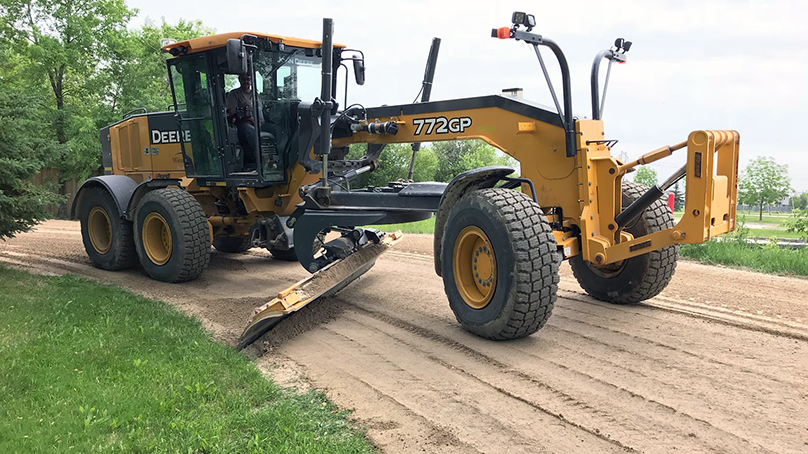
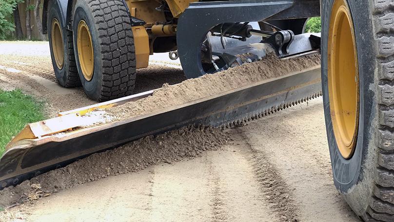
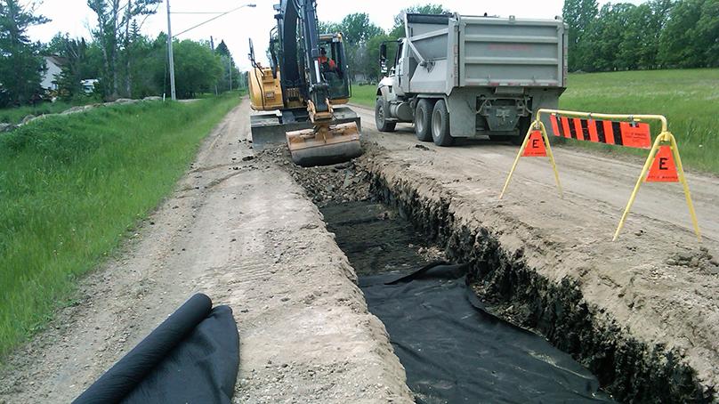
There are half a dozen road treatments that can be undertaken depending on condition. Dust control is used to suppress dust and help maintain the shape and surface of the road. Chip sealing provides a sealed road with good traction. Dragging is used to maintain a consistent and smooth road surface. Shaping will help maintain shape, smoothness, and crown of the road. Sub-grade repairs are used to eliminate frost boils and soft spots. Crews will also repair potholes.
This online resource is another example of how we use technology to better communicate with our customers about the services we provide in a quick and convenient way. We also use mapping technology to provide updates on spring cleanup and snow clearing operations.